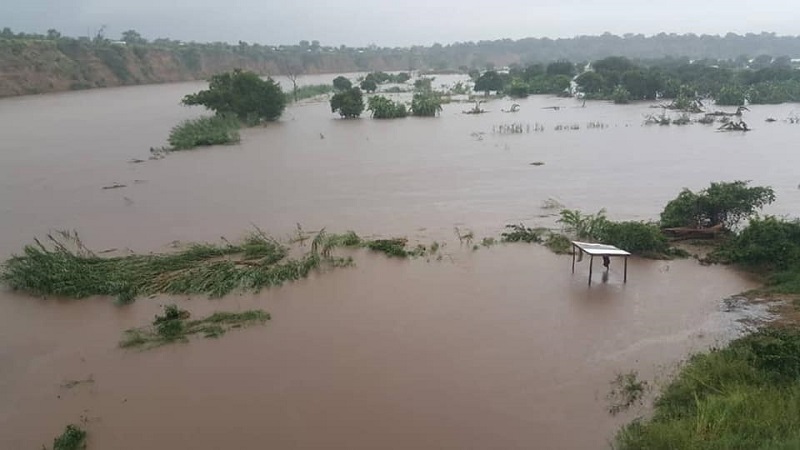
The Department of Climate Change and Meteorological Services says most parts of the country will continue receiving heavy rains associated with thunderstorm.
“Most areas in the south, center and the north of the country are expected to experience a substantial increase in rainfall activities associated with locally thunderstorms at occasions particularly over high grounds areas due to the presence of an Inter-Tropical Convergence Zone (ICTZ).
“However, pouches of dryness are expected mainly over Lower Shire,” forecasted Nkhokwe.
However, the Department`s Director Jolamu Nkhokwe has told Yoneco that from Thursday to Sunday this week, there will be a reduction in rainfall in most areas across the country.
“Most areas of the center, south and north of the country are expected to experience a slight reduction of rainfall activities but still associated with sporadic thunderstorms which will be heavy mostly over much of the south.
“This is due to a weak penetration of Congo air mass and the presence of a weak ICTZ over the country,” said Nkhokwe.
During the past week, highest rainfall in the north was 53.3mm recorded at Chatu in Chitipa on February 15, 2021, in the center was 64.9mm over Bilira in Ntchewu on February 17, 2021 and in the south was 71.5mm reported at Msikawanjala EPA in Mulanje on 18th February 2021.
In addition, Nkhokwe said the Cyclone Guambe has gone further to the Indian Ocean.
“Tropical Cyclone Guambe has gone further to the South East of the Indian Ocean at a distance of about 2000kms away from Malawi.
“Where it has no influence on the weather over the country and therefore harmless to the Malawi nation,” Nkhokwe said.


